New technologies and pioneering initiatives could address the interconnected development challenges, and promote sound policies that protect the future of the Amazon and prevent further deforestation.
The journey towards a stable and more productive economy which complies with the best environmental, social and governance practices remains long and difficult. However, there are encouraging developments. New technologies, such as satellite imaging with increased frequency and granularity, may transform some of the existing economic activities. For example, together with artificial intelligence, such technologies are now helping to improve the traceability of cattle to ensure they are not raised in recently deforested areas. Imagery has also been instrumental in monitoring deforestation, and isotope testing is increasingly used to verify whether timber matches its declared origin.
Outside the areas of the Intact Amazon, a combination of forest management, agriculture, cattle ranching and legal mining may be sustainable. Investment can increase productivity and break the ‘slash, burn and abandon’ pattern of land occupation, freeing degraded pastures for reforestation, possibly with help in the form of payments for environmental services or carbon credits.
To prevent further deforestation in Pará, surrounding forests have to be formally set aside as conservation areas, and their protection has to be rigorously enforced, while minimum forest coverage is maintained in the developed areas. Fighting illegalities and providing adequate financing for producers who operate sustainably are crucial to making this strategy work.
Fighting illegalities and providing adequate financing for producers who operate sustainably are crucial to making deforestation strategy work.
Countering the abandonment of land in Rondônia after deforestation could follow one of two pathways: either restoration and regeneration into forests, or conversion into a new frontier of agriculture development.
In the east, where cultivation of pepper and other commodities has been successful in the last 40 years, other activities, such as the production of palm oil (e.g. for aviation fuel) on degraded land or legalized mining, could strengthen the economic fabric of the region, which is also anchored in important cities (including Paragominas, Altamira and Tailândia). There is still debate as to whether increasing productivity will improve conservation outcomes. Increasing agricultural productivity and social inclusion could be the best approach for these areas, and would help reduce migration into the arc of deforestation and beyond.
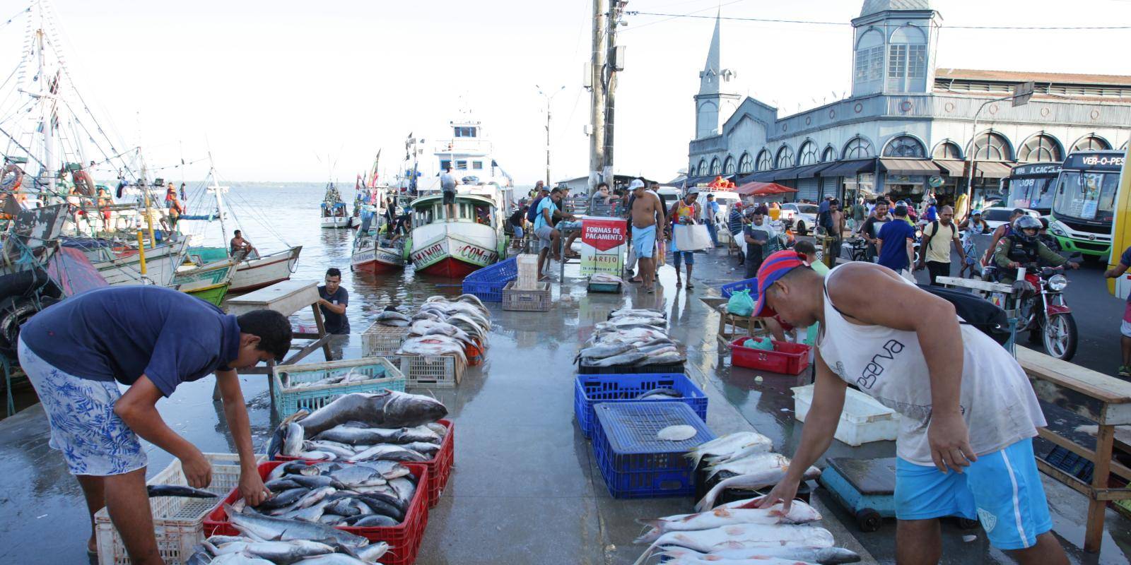
In urban areas, tourism, information and knowledge economy activities are crucial to the success of the services sector. This requires a strong focus on improving educational levels, which remain below the average in Brazil.
Responding to these challenges requires strong law enforcement and an end to the culture of impunity, as well as effective land-use policies. It may also require payments for environmental services and incentives for low-impact forest management. The development of a bioeconomy supported by science could lead to the creation of new markets for forest products. The experience of long-standing and successful conservation projects in protected areas, such as the Amazon Region Protected Areas Programme (ARPA), a joint initiative sponsored by government and non-government agencies including the World Bank, can contribute to such endeavours.
Given the interrelated nature of these challenges and their solutions, this research paper focuses on six specific areas where intervention has the potential to achieve lasting solutions. These are as follows: compliance and combating impunity; land-use planning, land titling regularization and transparency; economic development, in different areas such as timber, cattle ranching, agricultural commodities, mining and the forest bioeconomy, including through innovations in science and technology; funding architecture; infrastructure and communications; and the social agenda, including education.
Compliance and combating impunity
The social, economic and environmental challenges in the Amazon are exacerbated by weak governance. There is widespread impunity for all types of crime, including deforestation, illegal mining, land-grabbing, biopiracy and animal trafficking. Individuals and companies often cultivate permissive relationships with authorities. This situation drives away those investors and entrepreneurs who wish to operate under the rule of law and according to sustainability criteria.
Inequalities tend to create tolerance towards informal and even illegal activities, right across the economic spectrum. Those with greater economic resources claim that the complexity and inadequacy of laws make compliance with them impossible. Although this situation is not exclusive to Brazil, its implications for land-use planning and economic activities in the Amazon are broad and, at times, potentially devastating. It promotes impunity for illegal or criminal actions, sometimes under the excuse of fostering economic development, and encourages legal and regulatory changes that weaken social control and facilitate the grabbing of public property and the destruction of the environment.
Law enforcement has deteriorated since 2019. Environmental protection agencies have seen their already limited budgets being further reduced, and their enforcement actions restrained. A rhetoric that normalizes abuses and non-compliance with the law has also gained ground.
This scenario can be reversed. Brazil is recognized for the excellent environmental legal framework it created in the mid-1980s. New technologies allow greater transparency and better monitoring, and could facilitate the enforcement of environmental laws while reducing the cost of compliance with them. Civil society organizations have built important databases about the region and created mechanisms for local people to take part in decision-making that affects them.
Land-use planning, land titling regularization and transparency
Land-use planning is necessary to enable the Amazon to fulfil its potential. Such planning needs to reflect the priorities of Brazilian society inside and outside the region. It has to coordinate and balance environmental, social and economic goals and constraints to ensure the fair, robust and efficient allocation of land to various uses across the Amazon. Allocations must reflect the need to protect the forest together with the rights and needs of traditional populations and indigenous peoples, as well as providing the legal security required to stimulate new investment.
Strategic land-use planning of the Amazon has not been implemented or actively pursued, although it is envisaged by the Federal Constitution of 1988 (Article 21, 9). A land-use policy would establish guidelines for the organization and execution of a plan to implement the social, economic and environmental agendas, inform decisions on who has authority and enforcement capacity, and guide the creation of cross-cutting structural elements, such as investments in infrastructure, communication and technology.
In Brazil, a policy is usually more flexible and easier to approve than a national plan. Yet attempts to establish a national policy have so far resulted in only a few discussions and events, held in the first decade of this century. The widely differing expectations of different stakeholders have made it impossible to build consensus and progress the debate.
Giving people titles to land boosts confidence and provides a means for economic independence.
In the absence of a national policy, a number of protected areas, designated as Conservation Units, had been established by the mid-2010s. Several indigenous territories have also been demarcated, giving indigenous peoples full rights over the area. However, this approach to conservation is weakened by the fact that large areas of public land still do not have any specific designation. Undesignated areas are particularly vulnerable to land grabs, land speculation and deforestation, because they are viewed by many as ‘free’ and unused. Much of the current deforestation is occurring in areas that have not been clearly designated. Indeed, 5 per cent of the area classified as undesignated public forests had already been deforested between 1997 and 2018.
Land titling, which is of interest to many in the region, is a potential lever for more investment and higher agricultural productivity. It has to be addressed in accordance with land-use planning and be underpinned by very clear principles and objectives. Giving people titles to land also boosts confidence and provides a means for economic independence. But it cannot be approached in a narrow way, and it has to recognize the numerous forms of ownership in the region. It must respond to the specific needs of private as well as of collective ownership, including those arising in land settlements from land reform programmes and in quilombos. Land titling also needs to prioritize small producers and be backed up with penalties proportional to the size of the plots for failure to comply with conditions, especially with respect to environmental criteria. One of the starting points should be to address the gaps, overlaps and conflicts of ownership, especially in the Anthropized Amazon.
Effective and transparent land titling will require changes in the cartório or registry system for real estate, which is archaic and often fragile, despite the use of technology by some registries and the legal reforms that have been promoted during the last 45 years to modernize what is often a private service chartered by the state. Registrations are precarious, fragmented, incomplete and frequently conflicting, as well as being dispersed geographically, without comprehensive systematization or accessibility.
The digitization of registry data and a solid, transparent and agile infrastructure of registries, integrated with the data banks of the Environmental Rural Registry and the federal land settlement institute, INCRA (Instituto Nacional de Colonização e Reforma Agrária) and local land authorities, would help address some of these shortcomings. Satellite information can help with the verification of compliance filings and provide data about the conservation status of areas for which regularization is being sought.